

Soil Horizon Analysis from a Deep Pit
Hard
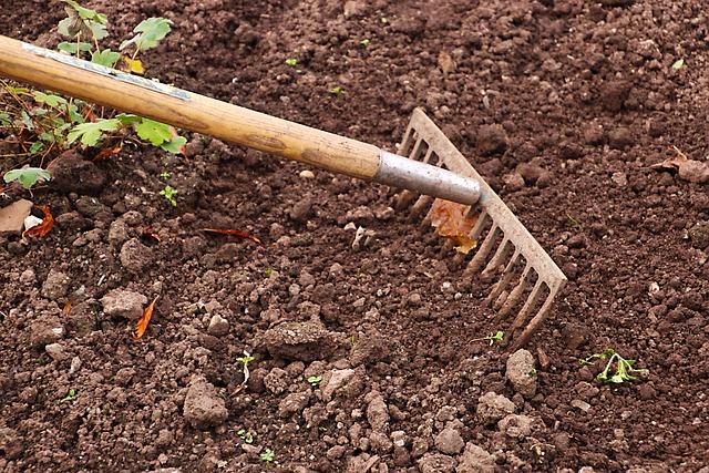
What can a one-meter column of soil reveal about the ground beneath your feet? Soil forms in layers called horizons. Each horizon has a distinct color and texture shaped by years of weathering.
You use an auger (a drill-shaped tool) to extract soil cores down to one meter. You lay each core on a tarp and look for changes in color and consistency. You test whether each layer feels gritty like sand or smooth like silt. You also check whether it feels sticky like clay.
You note any rocks and roots at each depth. You test for free carbonates as well. Mapping these horizons builds a detailed soil profile.
Hypothesis
The hypothesis is that the soil in the deep pit will have different characteristics depending on the depth.
Method & Materials
You will use a GPS to record your time and location, an auger to take core samples of the soil, and a meter stick to measure the depth of the hole. You will also observe the soil on the tarp to determine the structure, texture, and color.
You will need an auger, a meter stick, a GPS, a color book, and a pH paper.
Eureka Crate — engineering & invention kits for ages 12+ — monthly projects that build real-world skills. (Affiliate link)
See what’s includedResults
The soil in the deep pit had different characteristics depending on the depth. The pH of the first horizon was 9.0 and the soil had a red pigment in it. The soil had many rocks, few roots, and no carbonates.
Why do this project?
This science project is interesting and unique because it allows us to explore the soil in a deep pit and discover what lies beneath.
Also Consider
Experiment variations to consider include testing the pH of the soil in different horizons and testing the presence of different substances in the soil.
Full project details
Additional information and source material for this project are available below.Related video
These videos explain the science behind this project and demonstrate key concepts used in the experiment.
Share this Science Project:
Browse by Grade
Related Science Fair Project Ideas
Bury bones across a soil-filled fish tank, shake it like an earthquake, and measure which ones shift the most.
Hard
Drag a brick with an elastic cord and watch a vibration sensor record the stop-and-go jolts that mimic earthquakes.
Hard
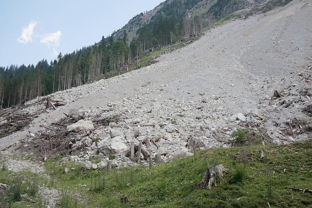
Map nearly 250 landslides from aerial photos and ground surveys to find out what triggers hillside collapse near salmon streams.
Hard
Share this Science Project: